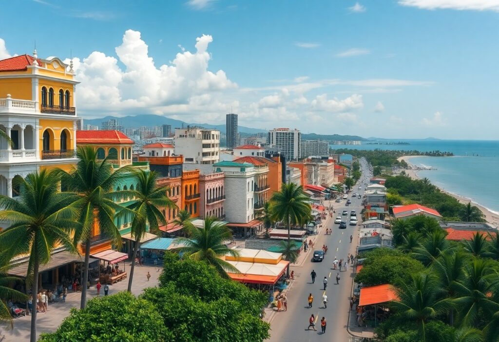
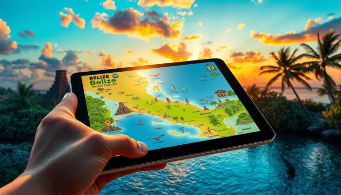
Open the interactive Belize map to find towns, routes, attractions and itinerary layers so you can get directions, pick stays, or build a plan in minutes.
- Planning routes between towns, reefs and ruins
- Layering hotels, ferries, and attractions for an itinerary
- Checking road vs. water travel and offline options
- Interactive layers (towns, roads, attractions, transport)
- Directions, custom route options, and accessibility notes
- Quick links to the full Belize travel guide and booking pages
Open the live map to try directions or scroll down for quick decision tables and timing guidance.
Quick Decision Table: What Do You Need From The Map?
| Goal | What to enable | Immediate action |
|---|---|---|
| I need turn-by-turn directions | Enable routing, traffic/road layer, and landmarks | Open directions, pick start/end, choose vehicle type |
| I want itinerary layers | Enable hotels, attractions, ferry and dive site layers | Toggle layers and save a route or share the link |
| I need an offline map | Download area tiles or export GPX for offline use | Select area, choose download, test on device |
Core Map Features And Layers (What To Toggle)
Focus your session by switching these layers on first; they cover the most common traveler needs.
- Towns & Services San Ignacio, Belize City, San Pedro, Placencia markers with hotels and ATMs.
- Roads & Ferry Lines Primary roads, secondary roads, and marine routes to the cayes.
- Attractions & Activities Maya ruins, Blue Hole access points, dive/snorkel sites and caves.
- Transport Modes Bus stops, domestic airstrips, ferry terminals and car-rental pickup points.
- Safety & Accessibility Road surface notes, wheelchair-accessible sites, and emergency services.
Directions: Accuracy, Tips And Common Pitfalls
Use the map’s directions for city-to-city travel and last-mile routing on islands; keep these accuracy tips in mind.
- Check The Mode choose car vs ferry vs walk—Belize mixes sealed roads and unpaved stretches.
- Use Landmarks many local directions reference landmarks (e.g., market, clinic) more than street names.
- Confirm Last-Mile Travel Cayes require a boat or short flight—verify departure times before you leave the mainland.
- Live Conditions if available, enable traffic and weather overlays; otherwise check local provider pages before long drives.
Timing & Booking Windows — When To Map Vs When To Book
Map planning and bookings are interdependent: use the map early to set routes, then lock transport and stays within recommended windows below.
| When to visit | When to book flights & hotels | Why it matters for maps |
|---|---|---|
| High season (Nov–Apr) | Book 2–4 months ahead | Ferries and island hotels fill fast; lock routes early |
| Shoulder season (May, Oct) | Book 1–2 months ahead | Better rates; map to check wet-season road advisories |
| Low season (Jun–Sep) | Book 2–4 weeks ahead for deals | Some services reduce frequency; confirm real-time schedules |
Performance And Accessibility Notes For Map Users
- Mobile First enable mobile tiles or a lightweight layer for slower connections.
- Keyboard & Screen-Reader prefer map controls that expose aria labels and keyboard shortcuts; test before relying on them in the field.
- Offline Strategy download tiles or export GPX for remote areas without mobile coverage.
- Data Usage long route planning and imagery layers consume mobile data—use Wi‑Fi when possible.
Quick Checklist: Plan A Route In 6 Actions
- Open the map and set your start and end points.
- Toggle layers: roads, ferries, hotels, and attractions.
- Switch mode (car/ferry/walk) and inspect any unpaved segments.
- Save the route and note departure times for ferries or flights.
- Download offline tiles or export GPX if coverage is unreliable.
- Confirm bookings for flights and hotels (see booking links below).
Use the map to finalize routes, then book flights and stays using these pages:
- Book flights to Belize — check domestic flight options to cayes and inland airstrips.
- Where to stay — toggle hotels layer to compare location vs route.
- Getting around Belize — logistic details that pair with mapped routes.
Where This Page Fits In Our Guides
This page is the focused interactive-map resource that supports our broader travel coverage. For step‑by‑step travel planning (visas, safety, long itineraries) use the full Belize travel guide. For local food and culture that pairs well with mapped itineraries, see Explore local ingredients.
Frequently Asked Questions
A: Use the full Belize travel guide above to access our interactive map and related tools; the guide centralizes routes, ferries and links to booking flows.
A: Yes—select an area in the map view, then choose the download tiles or export GPX option before you travel to remote districts.
A: Directions show routes and ferry terminals; always confirm exact departure times with operators and book domestic flights through the flight page linked above.

If you want a hands-on plan, open the full Belize travel guide, toggle the layers outlined above, save your route, and then lock flights and hotels using the links provided.
Liam Cartwright is an avid traveler and author specializing in Belize travel guides. With a passion for uncovering hidden gems and sharing local insights, he captures the essence of Belize’s vibrant culture, stunning landscapes, and diverse activities. Through his writing, Liam aims to inspire adventure seekers and empower travelers to explore the beauty of Belize with confidence and curiosity.